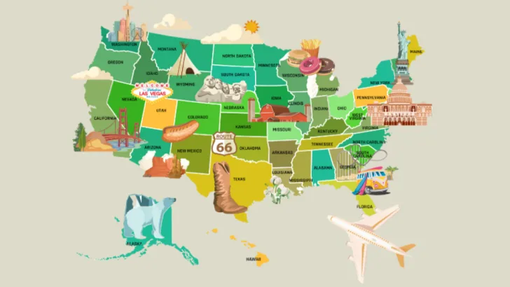
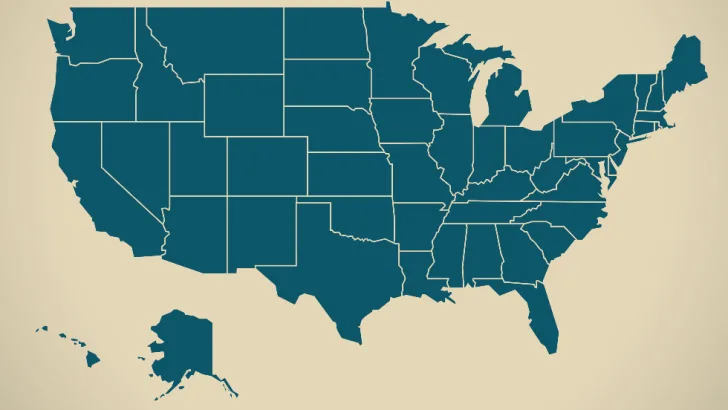
The United States has 50 states that touch three oceans and two other countries. From "amber waves of grain" to "purple mountain majesties," from deserts to forests, from palm trees to pines, we have it all. We've developed some locations into world-class cities, and we've preserved many breathtaking areas as national parks. Do you know much about the varied geography of the U.S.? It's time to test your knowledge!
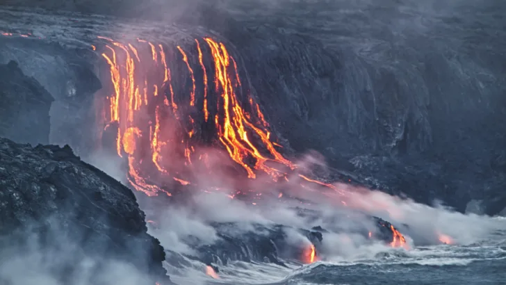
1: How many U.S. states have at least one active volcano?
Shutterstock by Alexey Kamenskiy
According to the U.S. Geological Survey, 12 U.S. states have active volcanoes. Keep your eyes peeled if you live in Alaska, Arizona, California, Colorado, Hawaii, Idaho, Nevada, New Mexico, Oregon, Utah, Washington, or Wyoming.
2: Which U.S. river begins in Minnesota at Lake Itasca and ends in Louisiana at the Gulf of Mexico?
Shutterstock by JB Manning
The Mississippi River ends in Louisiana at the Gulf of Mexico. The Port of New Orleans on the Mississippi was established in 1717. The river is at its deepest—191 feet—in New Orleans' French Quarter, so don't fall in during Mardi Gras.
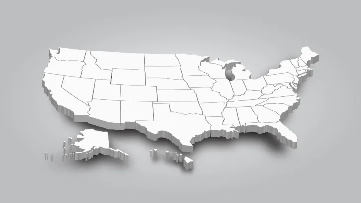
3: Which state has the most bordering states?
Shutterstock by Puwadol Jaturawutthichai
Both Missouri and Tennessee share borders with eight other states, including each other. In alphabetical order, Missouri shares borders with Arkansas, Illinois, Iowa, Kansas, Kentucky, Nebraska, Oklahoma, and Tennessee. Tennessee shares borders with Alabama, Arkansas, Georgia, Kentucky, Mississippi, Missouri, North Carolina, and Virginia.
4: Which state includes the easternmost point in the U.S.?
Shutterstock by Ingo Menhard
Most of us know that Alaska is the westernmost state, but, believe it or not, Alaska is also the easternmost. That's because Alaska's Aleutian Islands cross the 180th meridian into the Eastern Hemisphere.
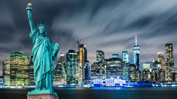
5: New York City, often referred to as the Big Apple, was once called New Amsterdam. Do you know its other former name?
Shutterstock by Resul Muslu
In 1624, the city was dubbed New Amsterdam by Dutch settlers. The British renamed it New York in 1664, honoring the Duke of York. For about one year, starting in 1673, the Dutch called it New Orange, honoring William III of Orange. After that, and ever since, it's been NYC.
6: Which two countries are larger than the United States in area?
Shutterstock by twenty1studio
Russia and Canada are the only two countries larger than the United States by area. Canada shares a border with only one country: the U.S. The U.S. shares a border with two countries: Canada and Mexico. On the other extreme, Russia shares a border with 14 countries: Azerbaijan, Belarus, China, Estonia, Finland, Georgia, Kazakhstan, Latvia, Lithuania, Mongolia, North Korea, Norway, Poland, and Ukraine.
7: Which of these states are all landlocked?
Shutterstock by Robert Biedermann
Of these state lists, only Nebraska, Tennessee, and Utah are all landlocked. There are 16 singly landlocked states, meaning you only have to pass through one other state or Canadian province to reach an outer border of the U.S. or Canada. Ten states are doubly landlocked, and only Nebraska is triply landlocked. Check a map for yourself.
8: Which state is known as the Gem State?
Shutterstock by feel plus
Idaho is known as the Gem State because its mountains yield not only gold, silver, lead, and copper, but also many gems, including star garnets, opal, jade, topaz, and more. The state gem of Idaho is the star garnet. The only other place in the world where the star garnet has been found is India.
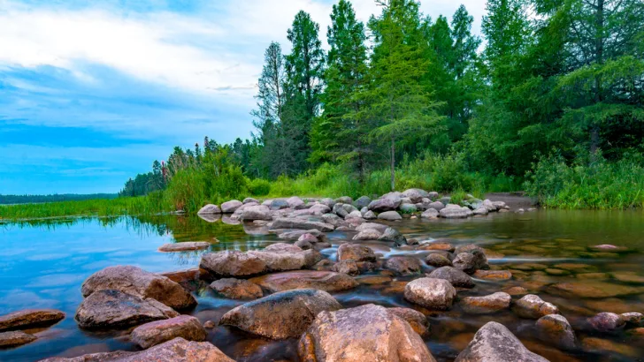
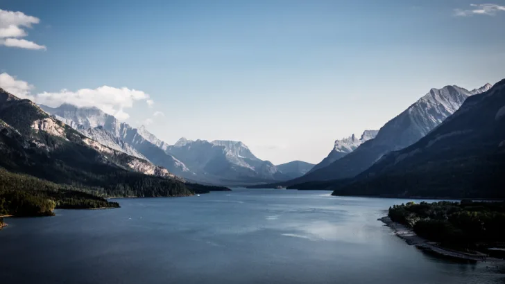
9: What is the deepest lake in the U.S.?
Shutterstock by lacurnis
At 1,943 feet deep, Oregon's Crater Lake is the deepest lake in the U.S. It was formed when Mount Mazama, a huge volcano, collapsed more than 7,000 years ago. The lake was sacred to the native Makalak people, whose descendants are the Klamath Tribes.
10: What continent is the state of Hawaii part of?
Shutterstock by Maridav
Hawaii is located in Oceania, which includes the regions of Australasia, Melanesia, Micronesia, and Polynesia. The Hawaiian islands are part of Polynesia, along with the Cook Islands, New Zealand, Norfolk Island, Samoa, Tonga, and Tuvalu.
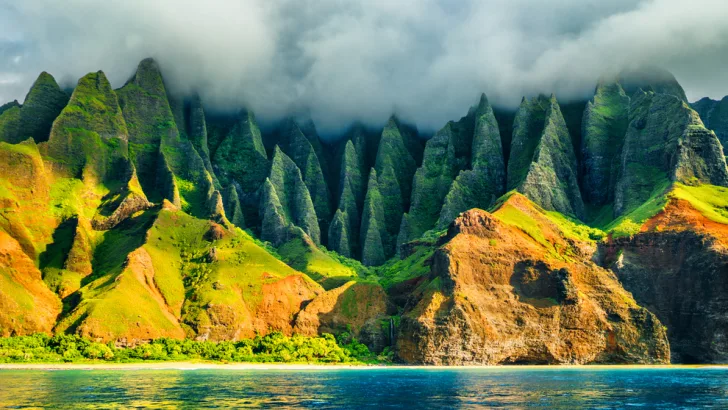
11: Can you name the largest hot desert in North America, which extends from Mexico into parts of Arizona, New Mexico, and Texas?
Shutterstock by Poynton27
The Chihuahuan Desert is the largest hot desert in North America, extending from Mexico to parts of Arizona, New Mexico, and Texas. It is separated from the Sonoran desert by the Sierra Madres. If you visit the Chihuahuan Desert, look for pronghorn antelope, jaguars, javelinas, and kangaroo rats.
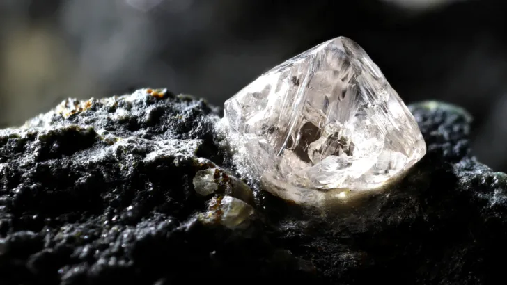
12: Which state boasts the only active diamond mine in the U.S.?
Shutterstock by Bjoern Wylezich
The Crater of Diamonds Mine is located near Murfreesboro, Pike County, Arkansas. Visitors are welcome to search for diamonds, for a fee, and the rule is finders keepers! The 40.23-carat Uncle Sam diamond was found here.
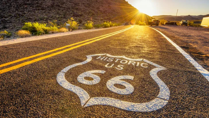
13: In what states did the famous Route 66 begin and end?
Shutterstock by Nick Fox
The starting and ending points of Route 66 changed over the years as the U.S. highway system evolved. Generally, though, the famous route connected California and Illinois. Watch the original Cars movie to understand the flavor of this world-famous highway. Today's tourists can still find quirky landmarks along this route, including Elmer's Bottle Tree Ranch in Helendale, California, the Wigwam Motel in Holbrook, Arizona, the Rock Cafe in Stroud, Oklahoma, and the World's Largest Catsup Bottle in Collinsville, Illinois.
14: Which U.S. state is closest to Africa?
Shutterstock by Austin DO
Did you guess Florida? If so, you probably have a lot of company. The correct answer is actually Maine—the distance between Quoddy, Maine, and El Beddouza, Morocco, is 3,154 miles.
15: What is geographically significant about Death Valley National Park?
Shutterstock by Death Valley
Death Valley National Park is the hottest, lowest, and driest national park in North America. In July 2018, the average temperature there was 108 degrees F. It's located 282 feet below sea level. The average rainfall ls less than 2 inches per year. It's a fascinating and beautiful place to visit, but come prepared.
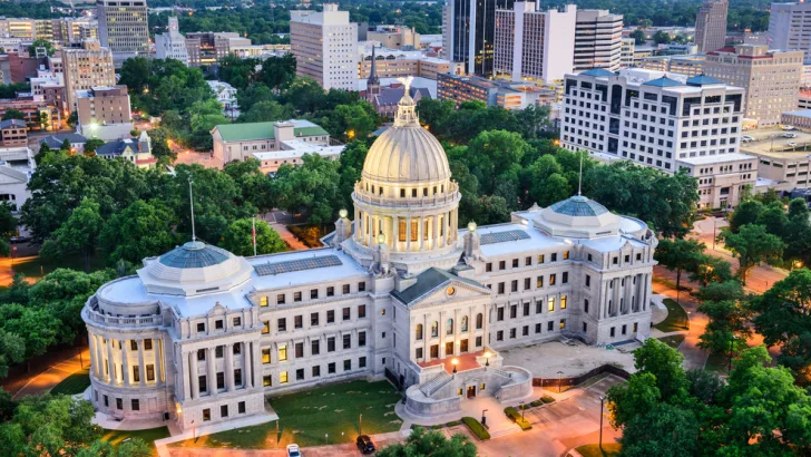
16: How many state capitals are named after U.S. presidents?
Shutterstock by Sean Pavone
The answer is four. The state capitals named after presidents are Jackson, Mississippi; Jefferson City, Missouri; Lincoln, Nebraska; and Madison, Wisconsin. Washington, D.C., is not a state capital, but rather, the capital of the United States.
17: By population, which are the four largest U.S. cities?
Shutterstock by Lars Poyansky
The top four U.S. cities by population, in order, are New York, Los Angeles, Chicago, and Houston. New York has more than double the population of Los Angeles, the second most populated. New York City is so big that some buildings have their own ZIP code. The Empire State Building, for example, monopolizes ZIP code 10118.
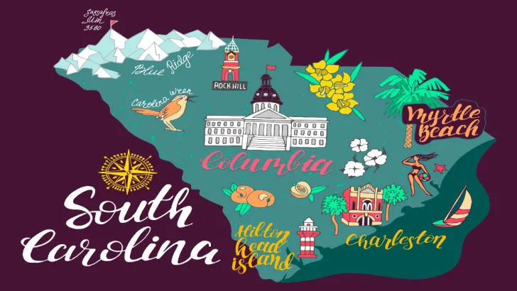
18: What is the official nickname for South Carolina?
Shutterstock by Daria_I
The Palmetto State is South Carolina, so named for its palmetto trees. The Buckeye State is Ohio, the Sooner State is Oklahoma, and the Flickertail State is North Dakota.
19: What is the shortest river in the United States?
Shutterstock by aphotostory
Rivers are ever changing, but most experts agree that the Roe River in Montana is the shortest in the United States. It flows for just over 200 feet, from Giant Springs to the Missouri River. Not much of a float trip, unless you continue into the Missouri River.
20: How many states have compass directions in their names?
Shutterstock by cheda
The answer is five. You might think that such states would come in pairs, and most do: North and South Dakota, and North and South Carolina. However, the mate for West Virginia is plain Virginia, just to keep you on your toes. No state's name begins with "East."